Topview mapping
Precision Land Surveying & Aerial Mapping
Your trusted partner for reliable surveying and mapping solutions.
Land Surveying
Accurate data for your project needs.
Comprehensive aerial imagery for informed decisions.
Expert analysis to support your planning process.
Aerial Services
Mapping Solutions
Your Partner in Precision Surveying
Dedicated to providing top-notch land surveying and aerial mapping services, ensuring precise data and imagery to support your projects from start to finish with utmost reliability.


150+
15
Trusted by Professionals
Quality Assured
Our Services:
🗺️ Land Surveying
• Boundary surveys and property line determination
• Topographic surveys for construction and development
• ALTA/NSPS surveys for commercial transactions
• Construction staking and as-built surveys
• Legal descriptions and plat preparation
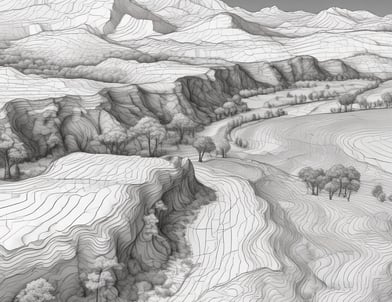
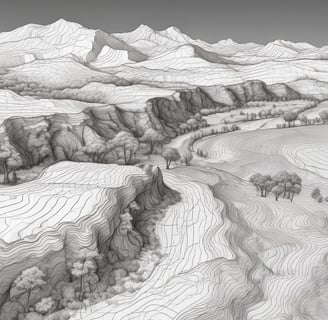
📐 2D & 3D Mapping
• High-precision digital mapping and GIS solutions
• Contour mapping and elevation models
• 3D terrain modeling and volumetric calculations
• CAD drawings and technical documentation
• Site planning and development support
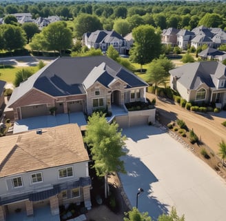
🏠 Roof Inspections
• Comprehensive roof condition assessments
• Storm damage documentation for insurance claims
• Thermal imaging for leak detection
• Detailed inspection reports with high-resolution imagery
• Safe, non-invasive drone-based inspections
📸 Aerial Photography & Videography
• Professional real estate photography
• Construction progress documentation
• Marketing and promotional content
• Event coverage and special occasions
• Infrastructure inspections and monitoring
Why Choose Us:
✓ Licensed and insured professionals
✓ State-of-the-art drone technology and surveying equipment
✓ Fast turnaround times without compromising accuracy
✓ Competitive pricing for all project sizes
✓ Detailed reporting and professional deliverables
✓ Serving residential, commercial, and municipal clients
Whether you're a homeowner needing a property survey, a contractor requiring site mapping, or a business seeking aerial marketing content, we deliver the precision and professionalism you can count on. Contact us today to discuss your project requirements and receive a free quote.
Licensed • Insured • Professional • Reliable
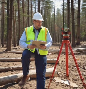
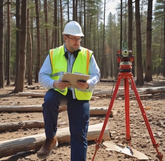
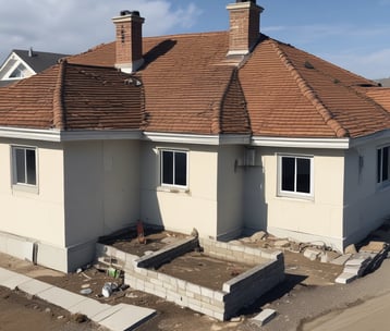
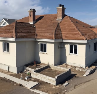


Gallery
Explore our precision land surveying and aerial mapping projects here.


Customer Reviews
See what our clients say about our surveying and mapping services.
Top View Mapping provided exceptional service and accurate data for our project. Highly recommend their expertise in land surveying and aerial mapping solutions.
John Smith
New York
The team at Top View Mapping exceeded our expectations with their professionalism and attention to detail. Their aerial imagery was invaluable for our planning process.
Emily Johnson
Los Angeles